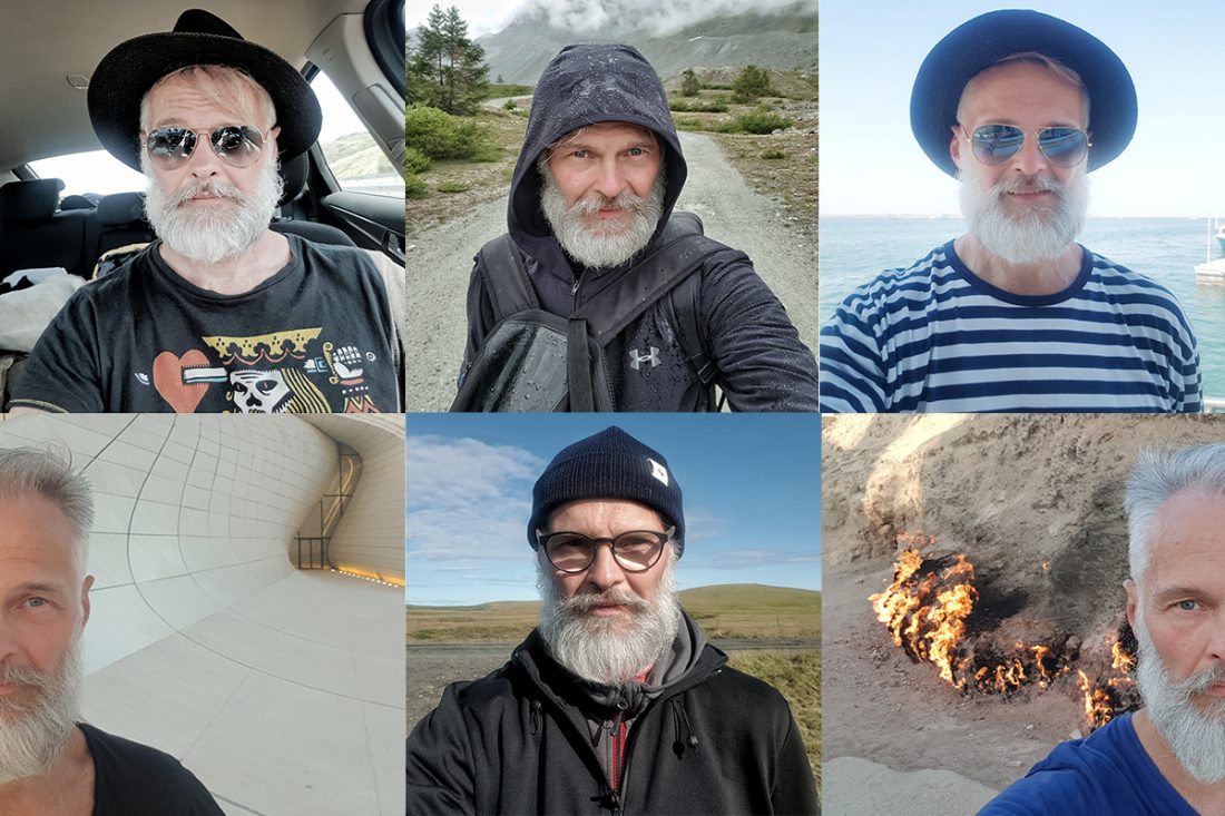
HOW DO WE FIND OUR LOCATIONS?
Many times, upon seeing these unbelievable sights, viewers understandably ask us the questions: “Are these pictures real?” and “How do you find these locations?”
Answers: 1) Yes, they’re real; and 2) after hours of searching and satellite research.
Generally, the theme has already occurred to us, and even if these are places we have known about for some time, we scout for most of our photographic sites with the aid of Google Earth. For each selected region, we scan through the satellite pictures. That way, after hours of research, we may come across something truly remarkable which is also appropriate for our project. When this occurs, we dive into the location and continue the search personally on site.
Now that we have selected and found our location, we explore the vicinity more thoroughly. After all, if we have already gone out to the site, we are not satisfied with only one or two photos. Moreover, thanks to the constant motion of water, it often happens that, by the time we arrive, we no longer see what Google photographed two years earlier. That may also mean that the given subject has disappeared completely; or, with the passage of time, it has become even more beautiful.
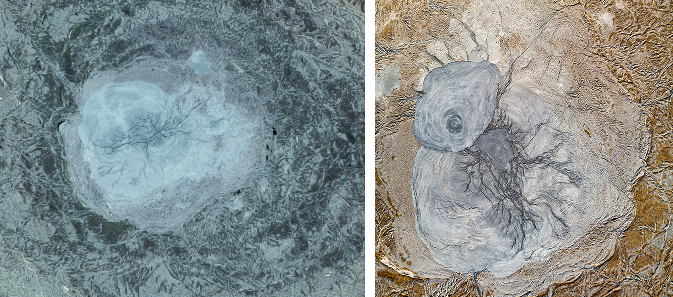
Left side: Google Earth picture of the mud volcano in Azerbaijan. Right side: our picture of the same mud volcano
Once we have decided a place to visit, we plan the journey, so that after a good couple of hours of flying and/or driving we may reach a potential paradise of drone photography.
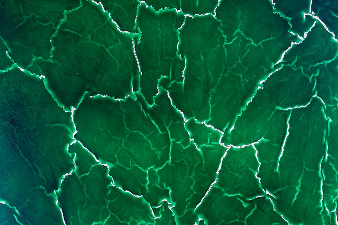
Below you can view a few photographs that not only show what the pictures we produce actually look like, but also what ubelievable formations are created by Nature. We feel it is our mission to display these wonders as they actually are in reality, from a perspective that people rarely see them, in order to show how water shapes our Earth.
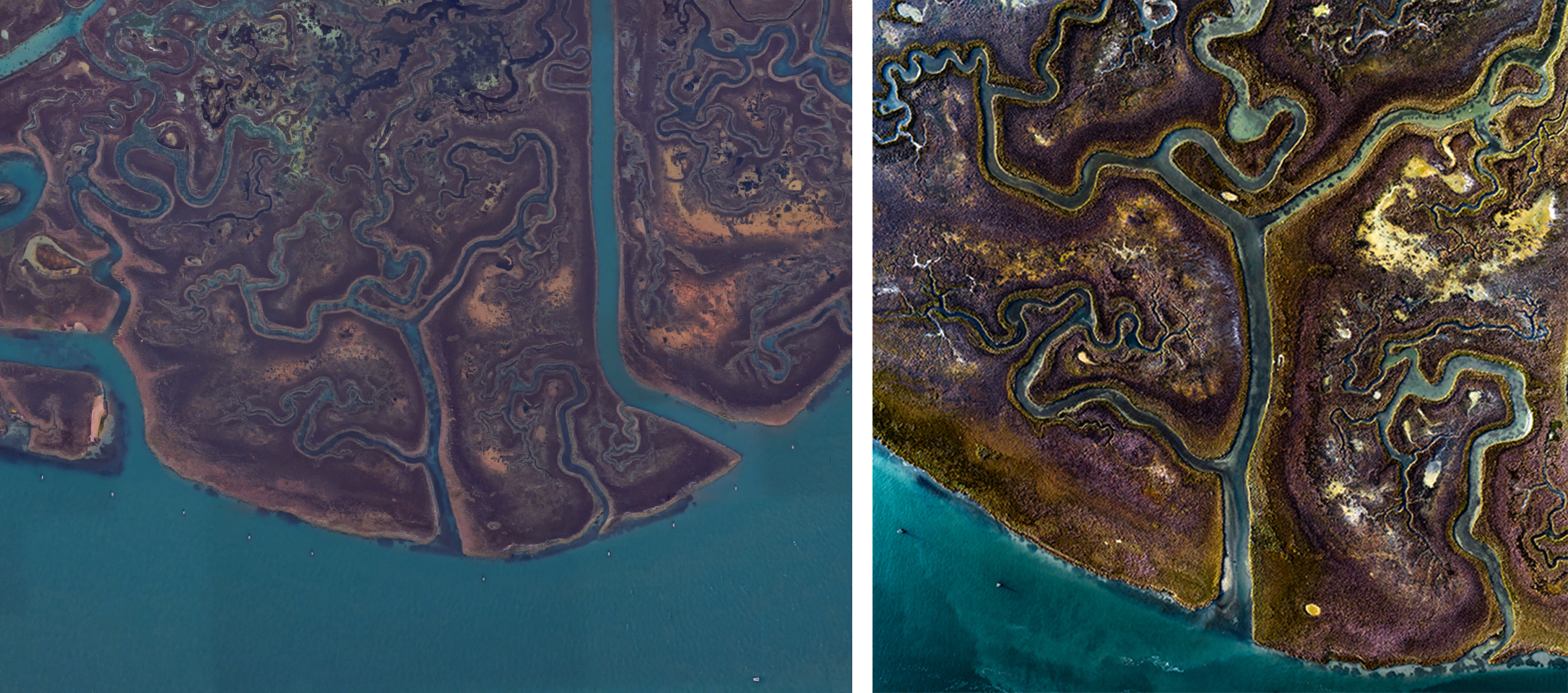
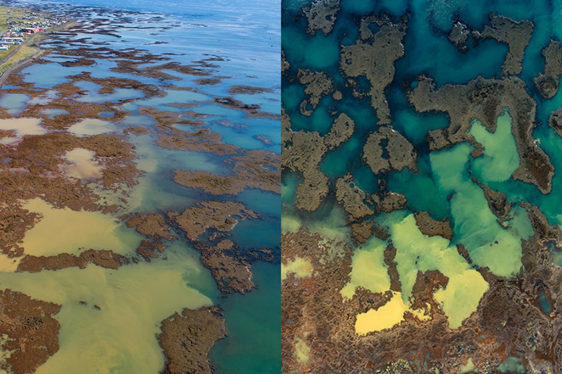
Left side: Google Earth picture of the Venetian Lagoon, Italy. Right side: our artwork of the Venetian Lagoon.